
Hiking trails abound in the Santa Ynez Valley
By Cori Lassahn
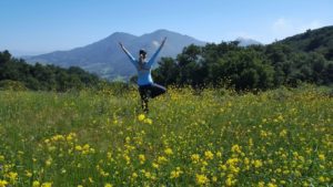
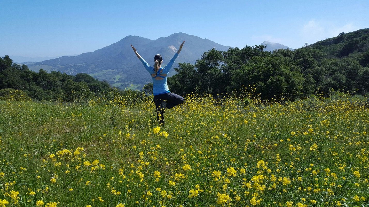
Cori Lassahn strikes a tree pose on the Las Cruces trail facing Gaviota Peak.
Spring has sprung in the Santa Ynez Valley and it’s time to come out of your winter hibernation and enjoy the outdoors.
Our valley is full of day-hike options that feature all kinds of terrain, from easy to difficult. Here’s a roundup of some of the local day hikes:
Las Cruces
This California State Park trail is on the southbound side of Highway 101 past the Vista de las Cruces Elementary School. The trail loops past a sycamore grove, a creek, and up the mountain. If you keep going, you’ll end up with views of Gaviota Beach and can even loop into the Gaviota Wind Caves trail.
Gaviota Peak
Gaviota State Park is 2,775 acres of oak-dotted trails, a natural hot springs, and views of the ocean. This popular hike is busy on the weekends and takes around three hours. You’ll climb the mountain via a main fire break road, which is wide and accommodating for groups. The peak features a round Gaviota elevation marker and 360-degree views.
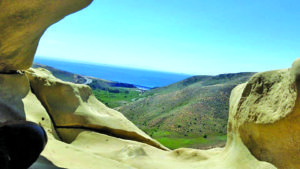
Seeing the Gaviota Wind Caves and views of the ocean makes a tough ascent worthwhile.
Gaviota Wind Caves
This hike has some steep sections, but it’s worth the ascent to see the multiple caves that have been wind-sculpted. As you hike up, you’ll be able to spot the wind caves above you. They are large, open-faced recesses in the rock. And once you make it there, the caves provide a nice shady respite from the sun, with views of Gaviota State Beach.
Grass Mountain
When the orange poppies are blooming, be ready for a crowd on this trail. The California state flower is a big draw, as it takes over a large swath of the mountain. This difficult hike can be taxing, so be sure to bring lots of water. At the end you’ll be rewarded with wide-open valley views.
Nojoqui Falls
This easy hike is beloved by locals for its ease of access. The youngest and oldest members of your group will be able to tackle this short hike up to the waterfall. Recent mudslides have made getting close the waterfall unsafe, so it’s best to view it from afar.
Tequepis Trail
Tequepis Trail is an 8-mile, lightly trafficked, out-and-back trail near Cachuma Lake. It features beautiful wild flowers and is rated as difficult. The trail offers a number of activity options and is accessible year-round.
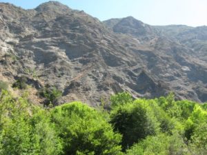
Photo by Cale Abbott
The Red Rock hike leads to some of the best swimming holes on the Santa Ynez River.
Red Rock Trail
The Red Rock Trail is an enjoyable three- to four-hour hike that provides you with some of the best swimming holes on the Santa Ynez River. You can head in either direction on this loop. At the midpoint you’ll find Gibraltar Dam. Near the top of it is a picnic area and a large board with interpretive information about the dam.
To get exact locations, directions and maps for each day hike, search Google for each trail name. Certain locations require a day-use fee, so bring cash if you don’t have an annual pass.
Cori Lassahn is a 14-year Santa Ynez Valley resident who loves to hike. She works in marketing for Gainey Vineyard and teaches multiple yoga classes. You can find her at www.vineyardyogasyv.com.


